5 Best Hikes Near Quito
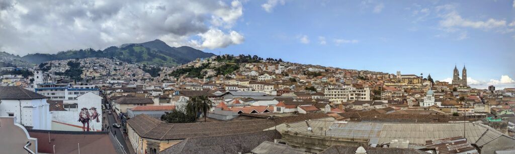
Quito, the capital of Ecuador, is located in the heart of the Andes Mountains at 9,350 feet above sea level. It's surrounded by snowy volcanic peaks, long ridges, and volcanic craters. Thousands of miles of hiking trails criss-cross these mountains and pass through the most spectacular scenery you can imagine.
Rose and I spent a month in Quito, Ecuador in January, 2022. During our time there, we spent most of our free time exploring the trails surrounding the city. Below are the five hikes near Quito we enjoyed the most!
Criteria - Hikes near Quito
The hiking options extend far outside Quito. Each hike in the list below can be done in a day from Quito or involve a stay at a desirable destination nearby.
I've left out hiking destinations like Baños or Cuenca that are far from Quito.
What is a Moderate Hike?
There are several Nevados (snowy peaks) surrounding Quito, where summiting requires a guide. Climbs like Cotopaxi, Antisana, and Cayambe are more akin to mountaineering than hiking. An ice ax, crampons, and rope are required. These are steep, glaciated, and NOT considered moderate hikes.
I also do not include short hikes that take under half of a day to complete.
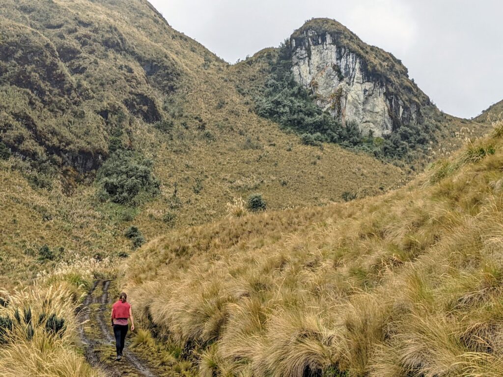
Ilaló
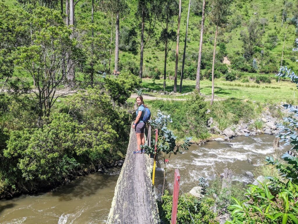
Ilaló is a six-mile traverse of a mountain of the same name. It is one of the easier day hikes near Quito The hike starts just 35 minutes outside of Quito and ends in the town of San Pedro del Tingo. Both locations are just a few dollars Uber to and from Quito.
Throughout the hike, you have good views of huge, rolling hills dotted with farmlands and the nearby sprawl of Quito.
The hike starts climbing a ridge with views of the surrounding towns and mountains. If you're lucky and it's clear out, you can also see some of the nearby Nevados. Near the end of the climb, things get a bit steep and we were happy when the trail started to level off. Arriving at the top, we discovered a cross marking the summit among some gorgeous farmland.
The descent is fairly steep on good single-trail. About half-way through the descent, we started running into throngs of athletic locals climbing up to the Cruz del Ilaló.
We completed the half-day hike in the town of San Pedro del Tingo. Here, you can refuel at one of the many small shops in town. We awaited our Uber back to Quito in the town's main park.
I suggest doing the hike as we did it: heading north east to south west. This had us hiking some of the steepest parts as a down hill.
Laguna Parcacocha (Cayambe National Park)
National Parks in most parts of the world are worth a visit. Cayambe Coca NP is no exception and contains many of the notable hikes near Quito. Just 24 miles from Quito, this enormous national park includes the high altitude of Cayambe Volcano (18,996 ft) all the way down to the hot and humid rainforest of the Amazon.
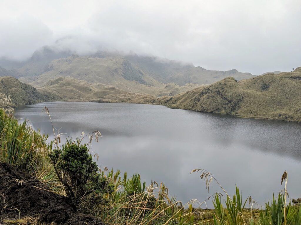
We started our hike just outside the park in the town of Papallacta. Quito residents frequent the small town of Papallacta to enjoy the many natural hot springs there. The town is touristy for sure, but we found the hot springs affordable and not to be missed! Make sure you leave some time to bathe in the hot springs after enjoying the park.
We took an affordable taxi to the park entrance. Wanting to share its national resources with locals and tourists, Ecuador does not charge an entrance fee for many of its national parks. We just had to register our plans for the day with a ranger at the park entrance and we were off hiking.
Highlights of our day include:
- walking by the many lakes and ponds dotting the moist landscape,
- feasting our eyes on endless grassy rolling hills, and
- being up in the clouds between 12,000 and 13,500 feet.
One downside of our hike was the weather. The sky was overcast the entire hike. Though it was cool experiencing the clouds blowing in and out all day, visibility was often limited. It would have been fantastic to see some of the enormous mountains nearby. The trail was also incredibly muddy. Bring sufficient hiking footwear that you don't mind getting muddy!
From the park entrance, we hitchhiked back to town with plans to enjoy a new hot spring that afternoon.
Pululahua Crater
When we left the trailhead at the Pululahua Geobotanical Reserve and started walking down into the crater, it felt like we had stepped into another world. The trailhead is located just a few miles from the famous Mitad Del Mundo - a spot where the equator passes through a Quito suburb - which is in the north of the enormous Quito sprawl.
But you wouldn't know it just after leaving the trailhead.
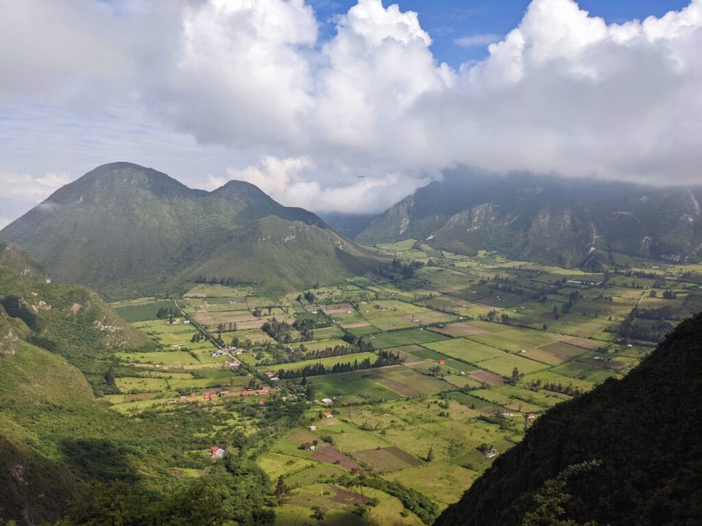
Pululahua's crater floor is flat and grassy with a tiny village and dozens of farms. Walking down into the crater is like stepping into a different world. As we stepped from the rim into the crater, the scenery changed from chaotic suburbs to sublime farmland surrounded by huge volcanic domes with a Jurassic Park-feel.
Our hike brought us through the tiny village pictured above, and then we circumnavigated the dome in the upper-left of the photo.
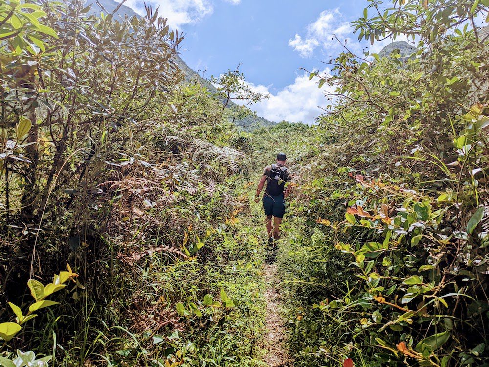
About half of the hike is on good double track and the other half is on rocky and vegetated single track. We passed through farmland, jungle, up and down hill sides, all with incredible vistas!
The route we chose was just over 8.5 miles long with 2,300 feet of elevation gain. If this half-day hike does not satiate your taste for the views offered here, there are lots more trails that climb the nearby peaks.
Between the views and the charming town with hostels and restaurants in the crater, Pululahua hike was one of the most gorgeous and enjoyable hikes near Quito.
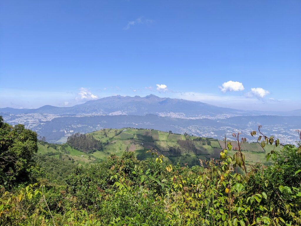
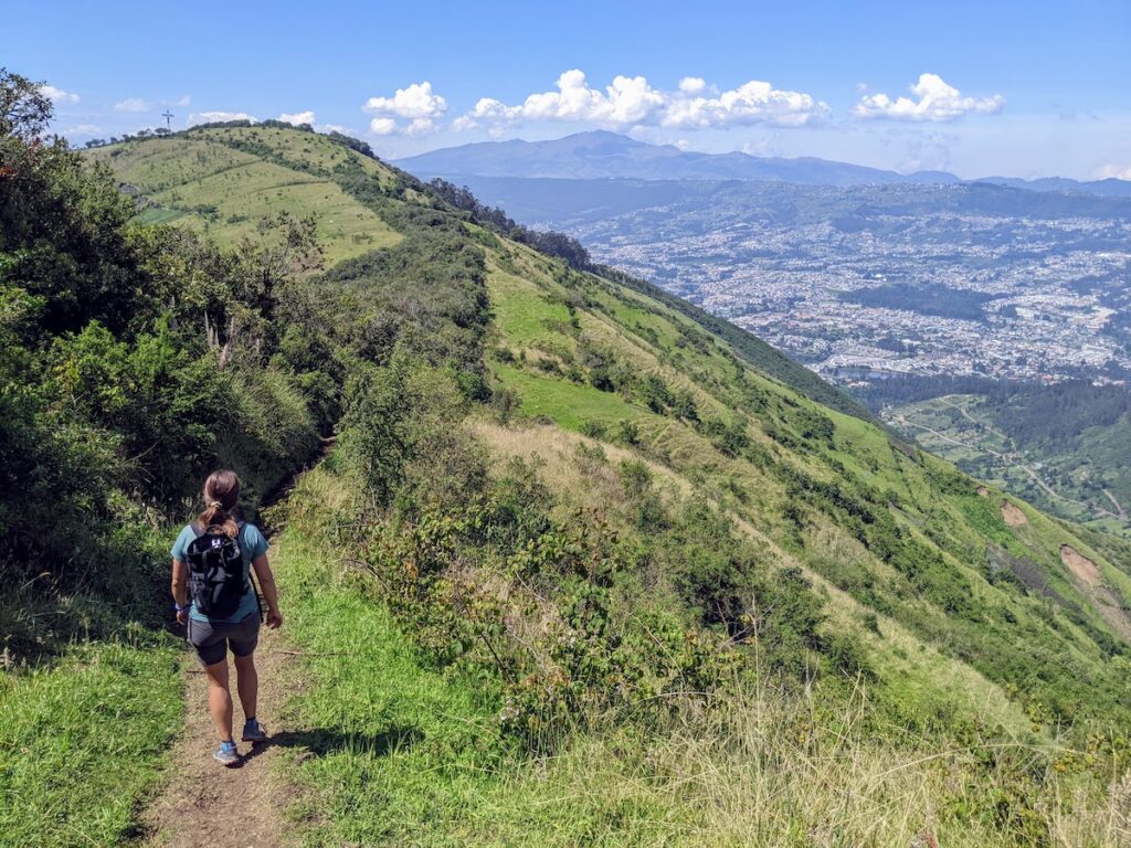
Rucu Pichincha
This is the best of the hikes near Quito to do if you only have a short time in the city. We liked this hike so much that we did a variation of this hike three times during our month in Quito. Rucu Pichincha has it all:
- A well-marked trail to follow trail,
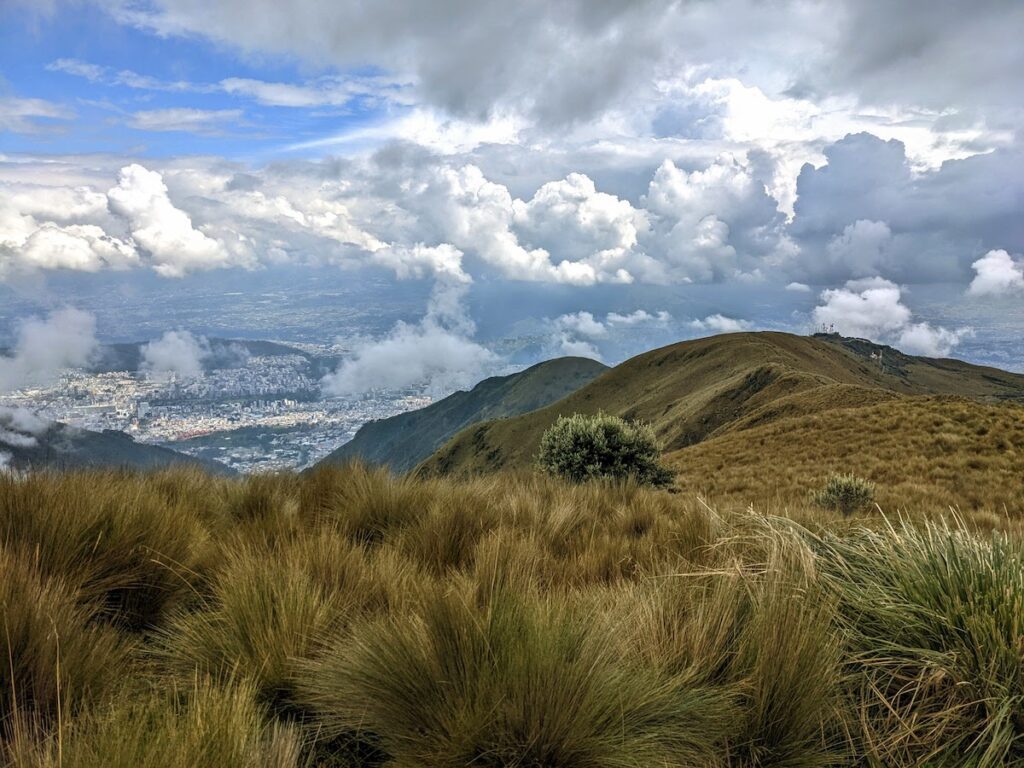
- Fantastic views of downtown Quito,
- Equally (if not better) great views of the surrounding mountains, and
- A true goal: the summit of Rucu Pichincha at 15,696 feet.
Clocking in at 6.2 miles and about 2,400 feet of elevation gain, the profile of this hike is not too intimidating. However, the elevation and difficulties you encounter just before reaching summit ensure you'll be tired after completing this hike.
TelefériQo
Don't worry, you don't need to hike from 9,350 all the way up to the summit of Rucu Pichincha. At the edge of town is the TelefériQo, a ski-lift style gondola that brings you up to just about 13,000 feet. There is an optional trail that climbs under the gondola for those so inclined.
For those travelers on a budget, the TelefériQo does not break the bank costing only $8.50 for a round trip ticket. Believe me, the price is well worth it!
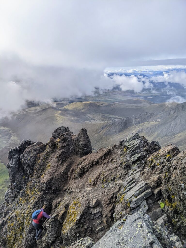
Hiking Rucu Pichincha
From the top of the TelefériQo, we started uphill and were immediately huffing and puffing from the elevation. We walked along a ridge over progressively taller mounds before reaching the base of the cliffs that flank the summit.
After navigating a few not-very-exposed rock scrambles, we arrived at the base of the Sand Trap. Later, we found out that we could hike to the (climber's) right of the Sand Trap. However, first-timers that we were, we elected to charge up the center of it. This was incredibly challenging. For every two steps of progress we made, we slid back half a step.
After that challenge, we arrived at the final difficulties: an easy, yet high-consequence scramble over volcanic rock to the summit.
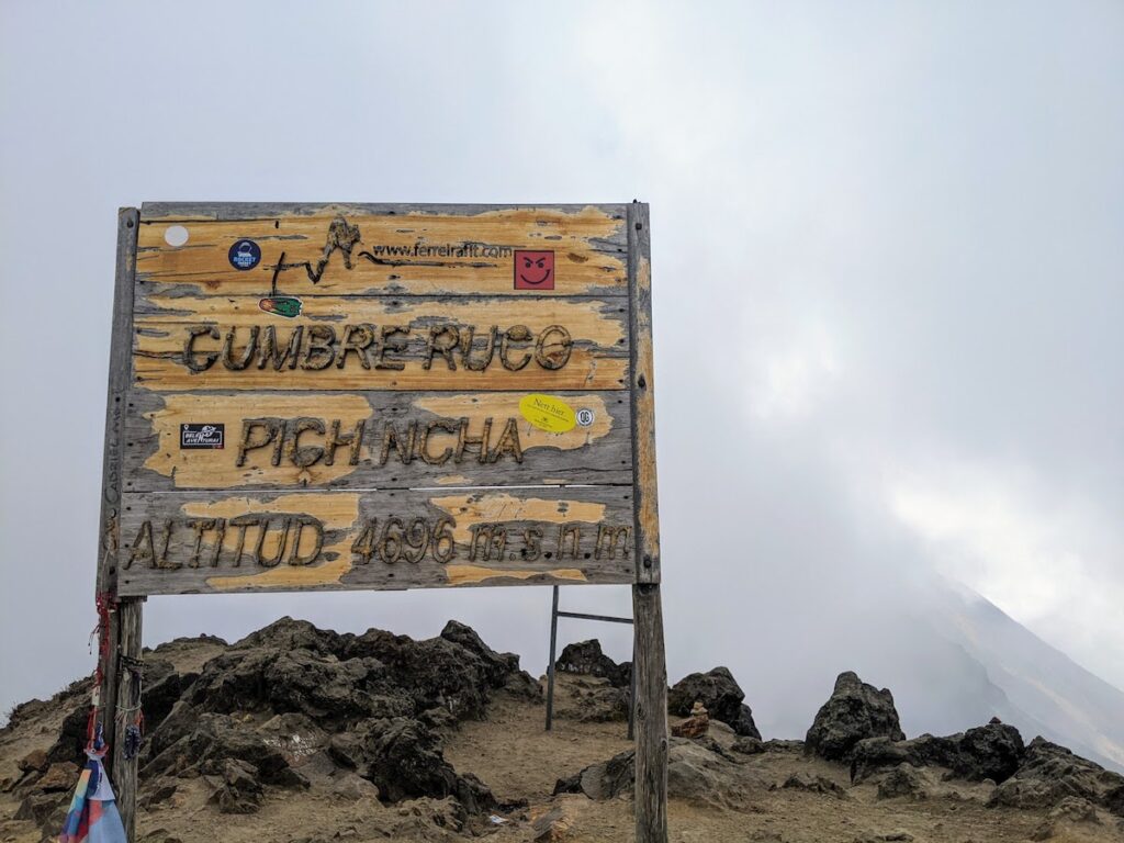
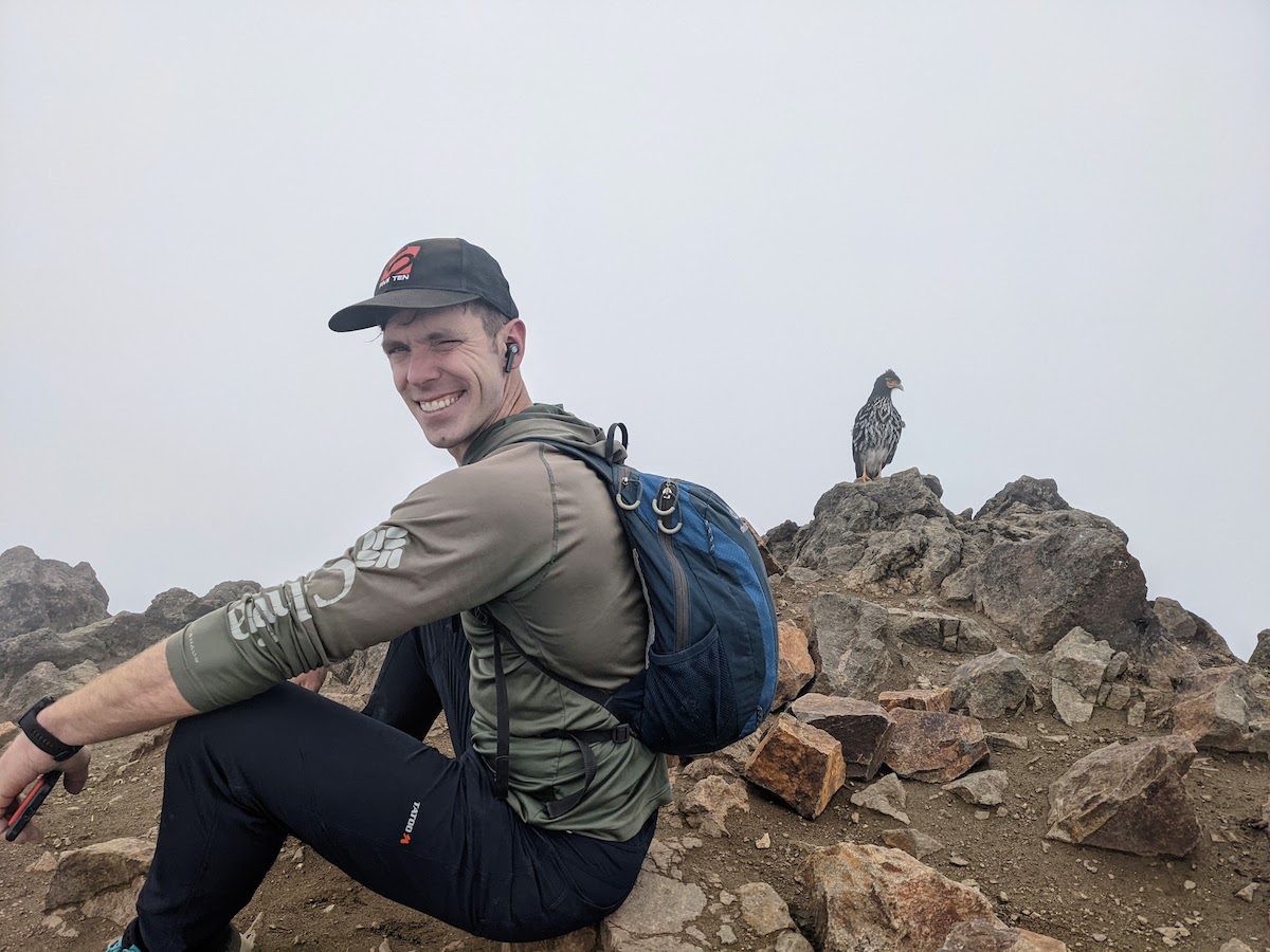
We reached the summit! Or, "cumbre" as its translated in Spanish. Clouds were swirling in and out and we were unable to get a clear photo of the views.
We hung out at the summit for a few minutes. However, I had gotten a small headache due to the elevation, so we headed down after a quick snack. As soon as we started descending, I felt better. At the top of the Sand Trap, the clouds cleared and we picked out the more efficient line down the (now) left-hand side.
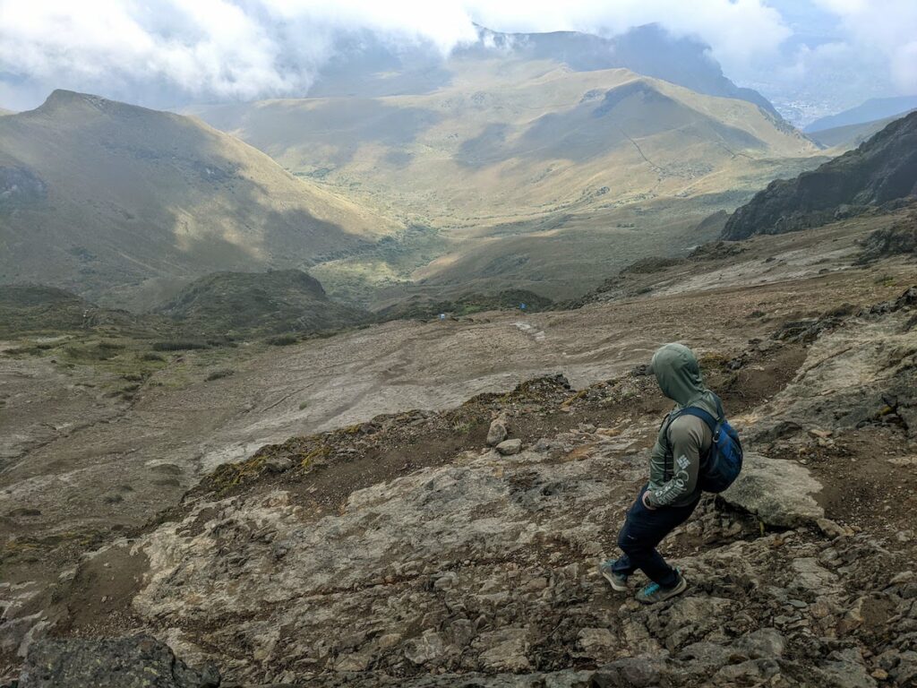
Given that the hike is an out-and-back, we basically reversed the hike from the morning. The clouds parted periodically, revealing amazing views of Quito and the surrounding mountains.
After all this, a short ride back down the TelefériQo and we were back in town.
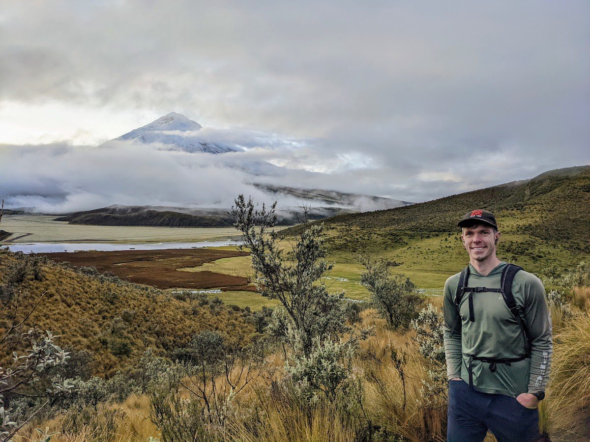
Rumiñahui (Cotopaxi National Park)
Alternative to Climbing Cotopaxi
We wanted to visit Cotopaxi National Park and do a hike, but we didn't want to hire a guide and rent all the gear required to climb the Cotopaxi volcano. Hiking Rumiñahui was an excellent alternative to climbing Cotopaxi.
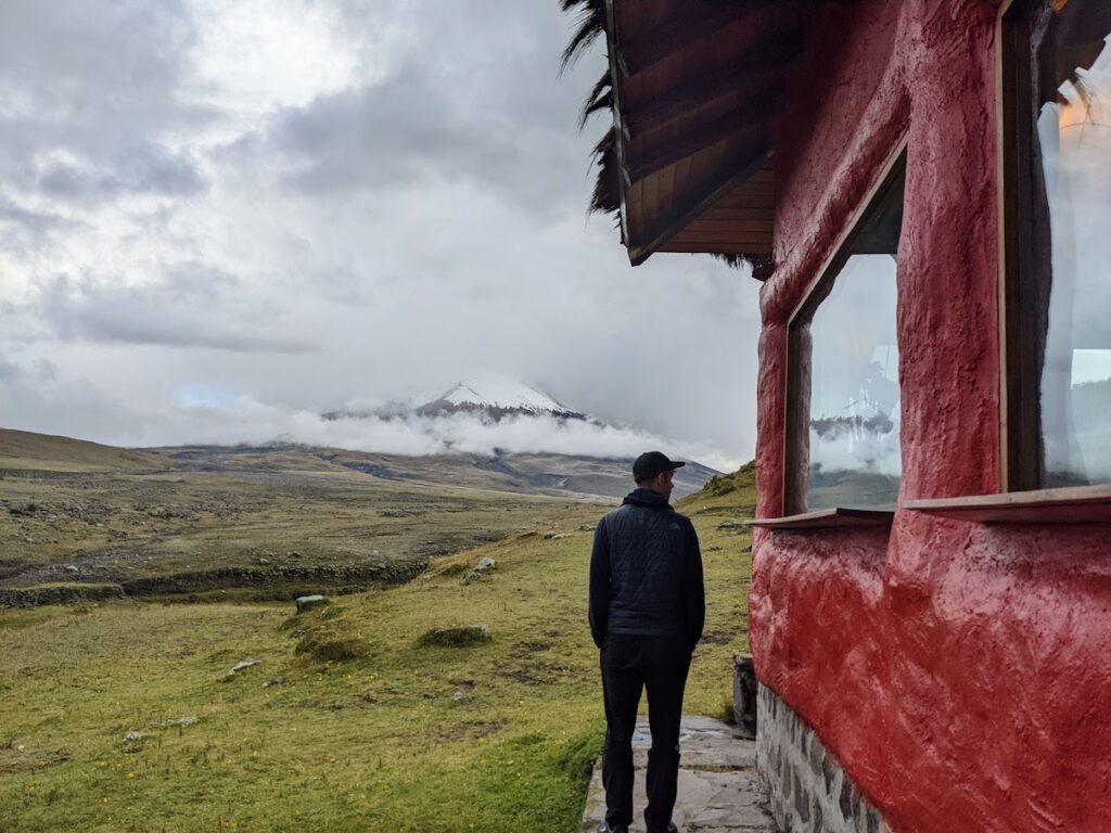
Rumiñahui is a 15,489 foot peak directly adjacent to the Cotopaxi volcano inside the National Park. Because of this, we had fantastic views of Cotopaxi as the clouds blew in and out throughout our hike.

Lodging at Tambopaxi
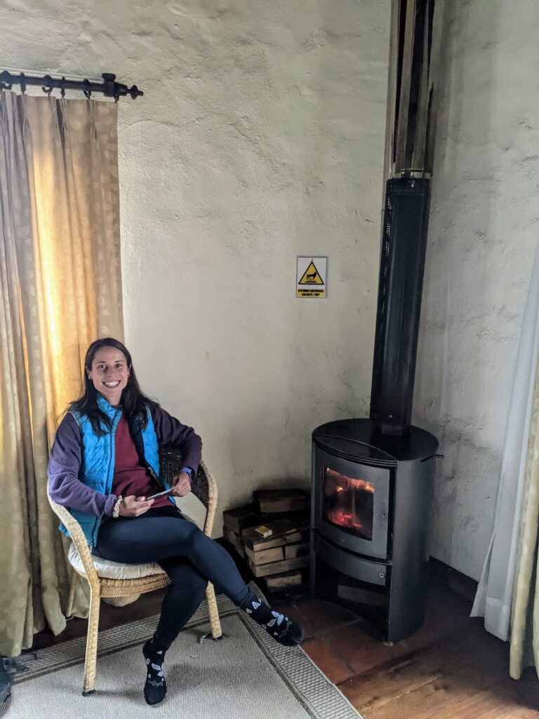
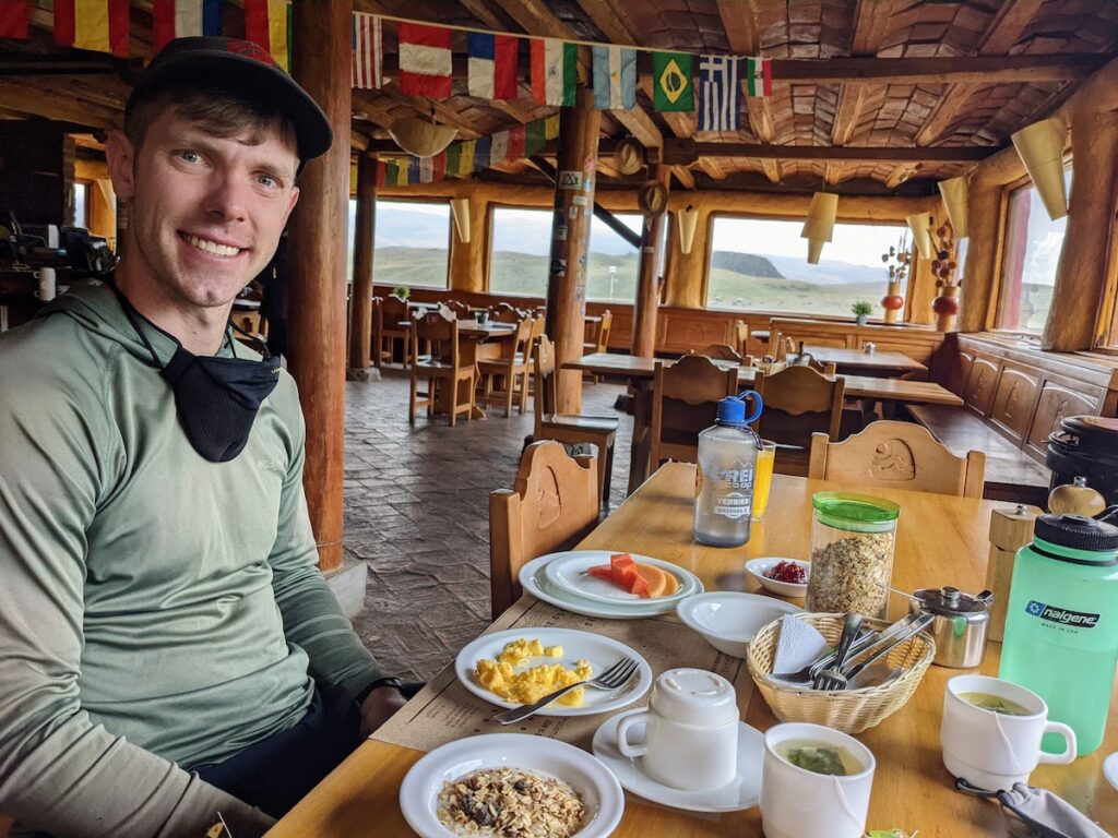
Similar to our Cayambe NP hike, Cotopaxi NP is located about two hours from Quito. Because we heard Cotopaxi NP is gorgeous, we wanted to stay the night up there prior to our hike. Tambopaxi is the place to stay! Conveniently located close to our hike, Tambopaxi provided a snug and warm room with wonderful views of the Cotopaxi volcano.
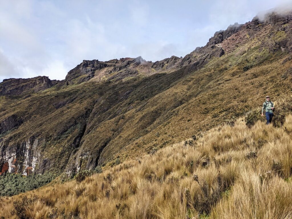
Hiking Rumiñahui
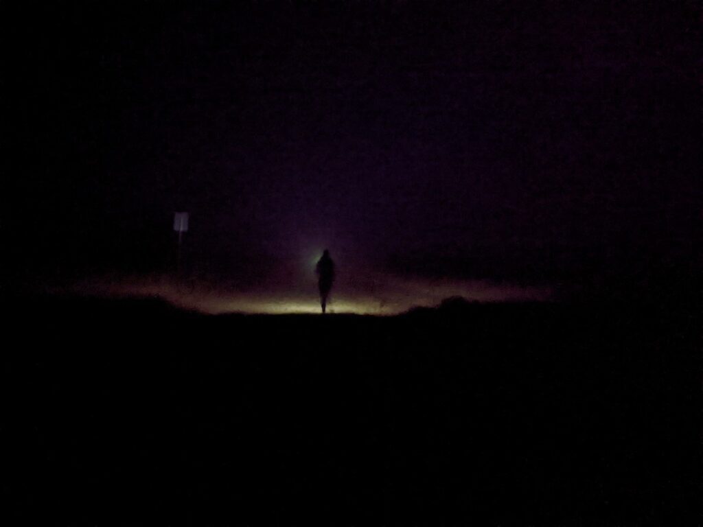
We woke up early the next morning and chugged some coffee. Then at 5:20 AM, still in the dark, we started the hike!
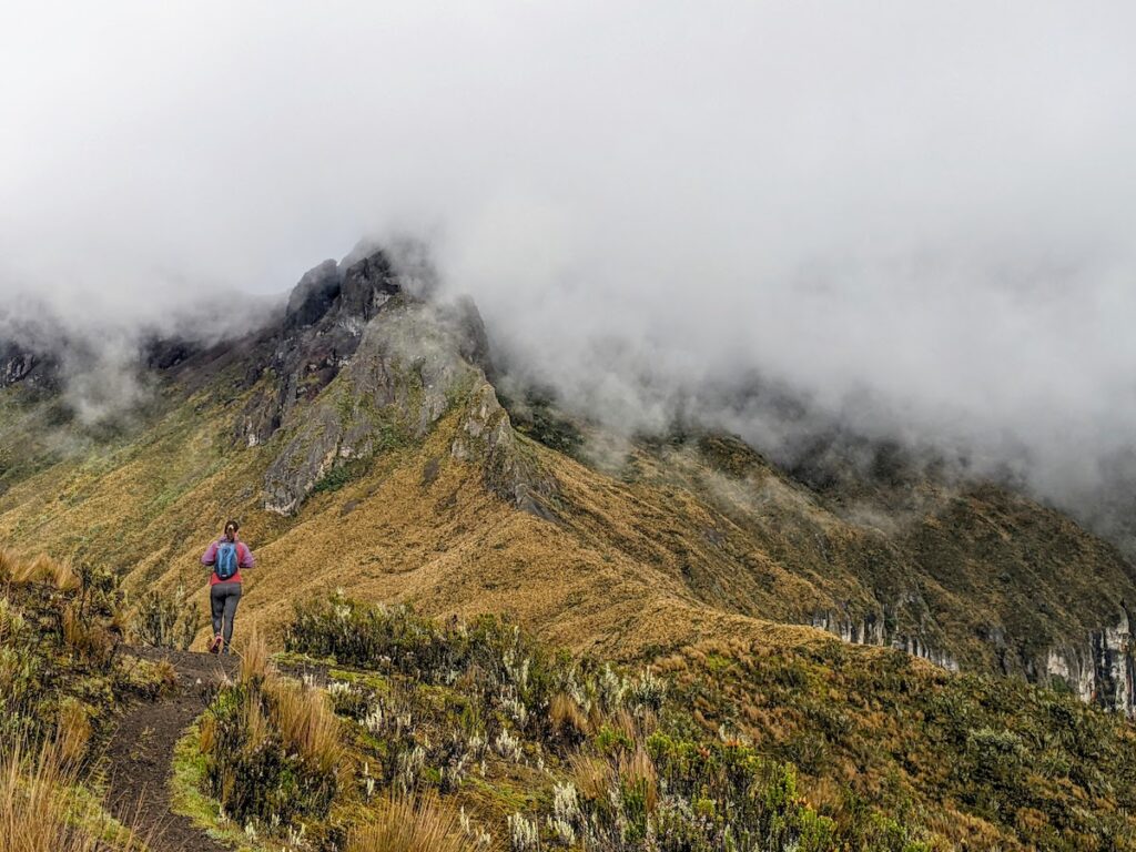
It took about an hour of walking on flat dirt roads to get to the trailhead. Once there, the sun started coming up and we starting walking uphill. The first two-thirds of the climb were fairly moderate, following a well-marked trail and not-very-steep grades. The last leg of the climb was similar to Rucu Pichincha: steep with a long sandy section and a short rock-scrambling section block access to the summit.
After a lot of huffing and puffing and careful foot placements, we reached the summit.
Given relatively clear views, we spent a few minutes on the summit. Unlike on Rucu Pichincha, my head did not hurt this time! It turns out that spending so much time at elevation really helps acclimatization!
After descending from the summit, we elected to take a faint trail in order to turn the hike into a loop. This was not a bad decision, though the trail was hard to follow in places and we had to rely on our phones to make sure we kept the correct heading. The views were beautiful!
Just six hours after we started, we arrived back at Tambopaxi ravenous. The hotel's food did not disappoint!
The sustained difficulty, majestic setting, and proximity to the Cotopaxi Volcano made hiking Rumiñahui the best of the hikes near Quito.
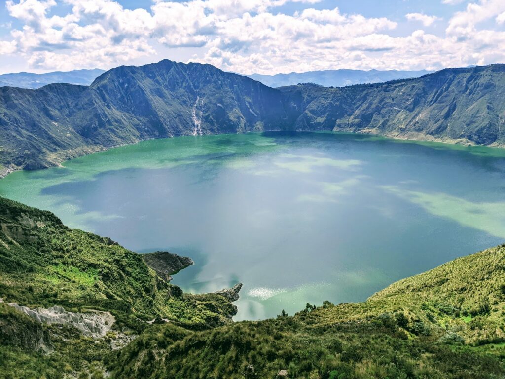
Bonus: Quilotoa Loop
But wait, I have a bonus hike for you! No list of the Best Hikes Near Quito would be complete without mentioning the famous Quilotoa Loop. In fact, I've dedicated an entire blog post to this hike.
Though not a day hike, the Quilotoa Loop exemplifies why Quito is such an excellent hiking destination: dramatic views, friendly locals, well marked trails, and comfortable lodging options (such as the Hostel Cristóbal).
The distance runner in me looked at the profile of the Quilotoa Loop: 21 miles and 7,200 feet of gain and saw a solid single-day hike. Rose and I found that going more slowly on this hike allowed us to enjoy the people and scenery that we encountered along the way.
Conclusion
There are dozens (if not more) fantastic hikes near Quito, Ecuador that make this vibrant and safe capital city worth visiting. During our month here, Rose and I spent most of of our free time hiking. The above list comprises our favorites!
Excellent